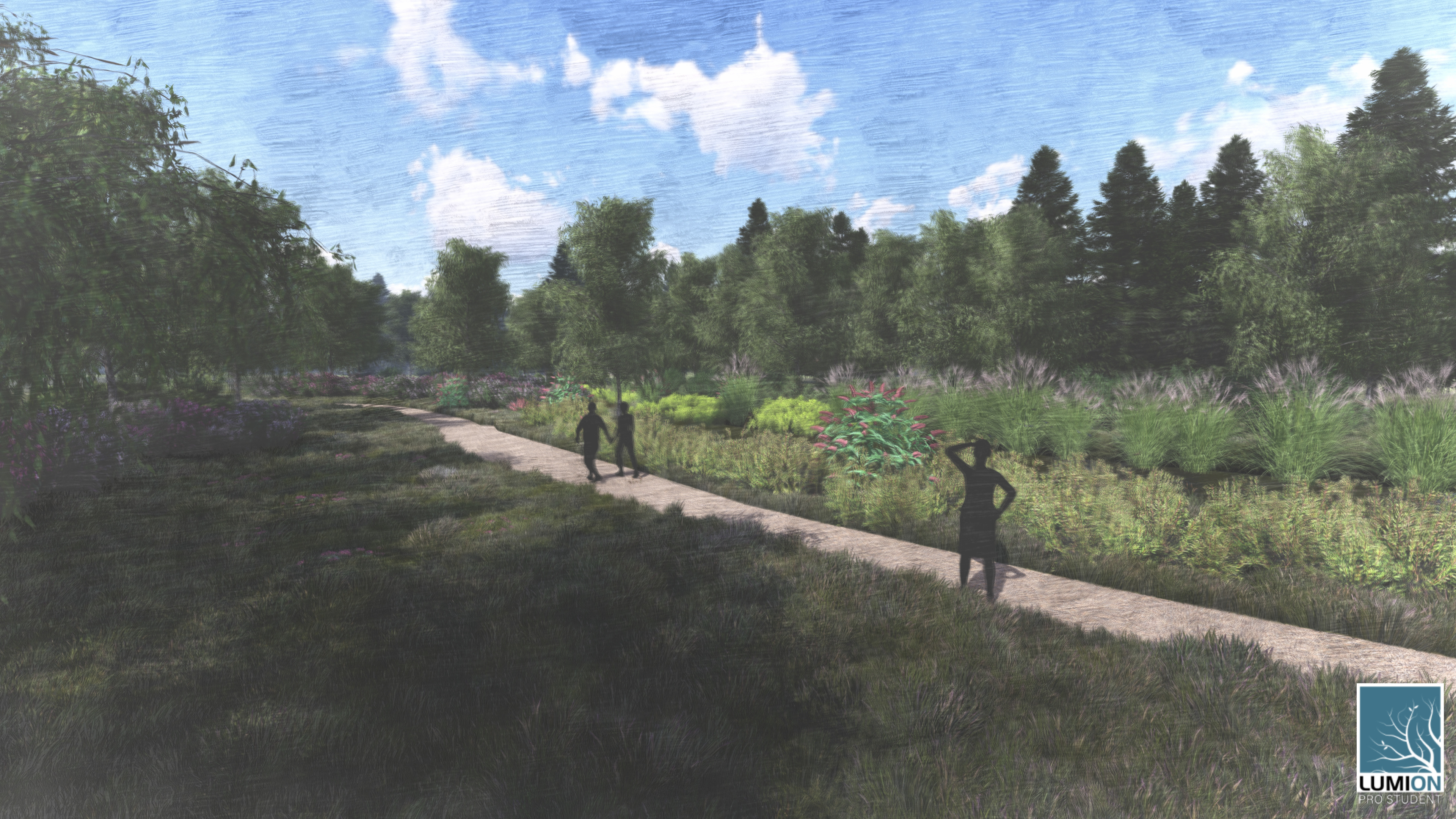
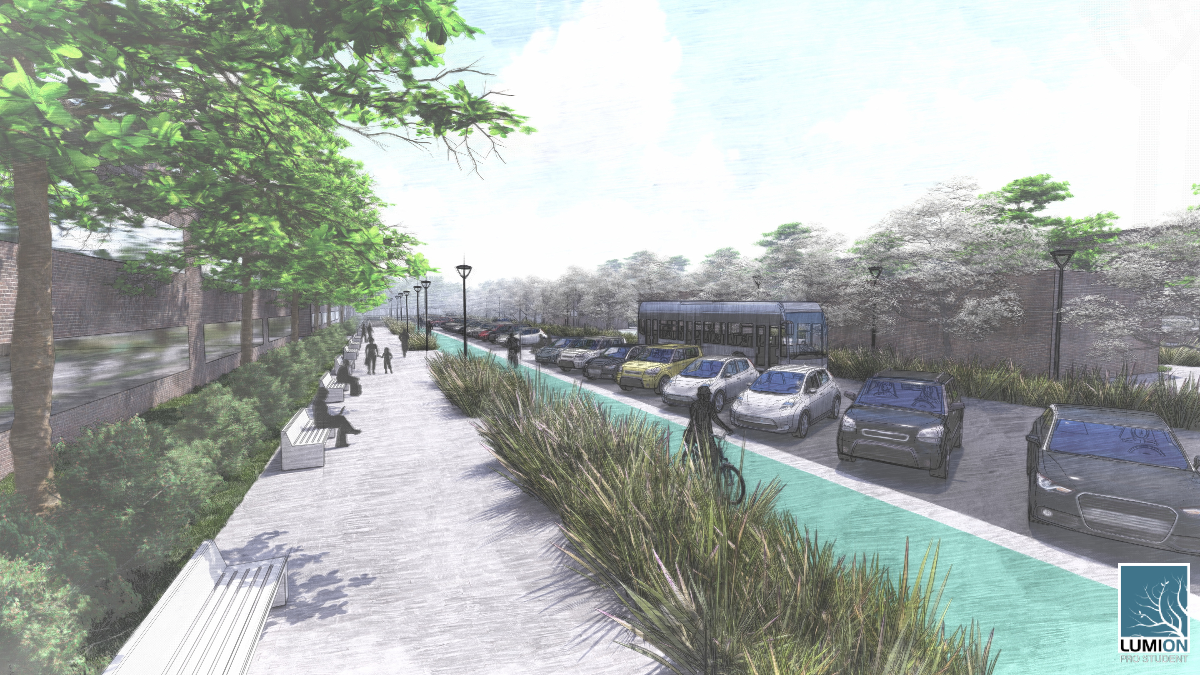
As a continuation of the type of work our team completed in Vitoria-Gasteiz, we moved to our new site area closer to home in Dewitt, NY. Dewitt is surrounded by many great recreational spaces and opportunities including the Erie Canal Trail, Clark Reservation State Park, and Butternut Creek. Currently, these public spaces exist independently of each other and depend on cars to travel to and between them. As general consensus towards the treatment of the current state of the I-81 continues to be pushed more towards the community grid option, people are starting to realize that there will be a significant increase in traffic along the I481 corridor. Maintaining the character and mitigating the impacts that this change will have on Dewitt is a must, and also an opportunity to improve other aspects of the area. By introducing a trail system these valued spaces in Dewitt will be transformed into a single, continuous space. A corridor of trails and ell as ecological zones. This system has two tiers of trails, multi-purpose and recreational. The multi-purpose trails are the main corridors used for pedestrians and bicycles. These trails provide more direct routes between the different recreation areas and places in Dewitt. They can be used as a commuter’s route or to bring those traveling on the Erie Canal Trail into the town. The recreational trails are less direct and travel through distinct and interesting ecological spaces of the town. These trails are designed to allow the user to be immersed in nature and experience unique ecological zones that exist in the Dewitt area. This trail system also connects public and educational institutions to unique outdoor education opportunities. The trails directly connect to the Community Library of Jamesville and Dewitt and offer connections to different schools such as Pebble Hill School and The New School. The space currently occupied by the interchange between I-481 and Route 5 can be transformed into green space corridors and an ecological connection under the roads. The existing interchange is a clover leaf interchange, which has a large footprint and is sometimes considered unsafe as cars exiting the road must merge into a lane with cars attempting to get onto the road. The reconfiguration of the interchange will open up space to extend the green corridor and design for pedestrian and bicycle friendly access. Other designs that may be considered for the space are the Single Point Urban Interchange (which uses only 58% of the footprint of a typical clover leaf interchange) Pinched Roundabout (53%), and Diverging Diamond Interchange (67%)


